Following are some of the many tools you may wish to explore in your work to reduce your community’s risks. Know of a tool you think should be here? Please let us know.
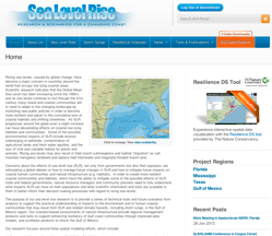
A series of technical tools and future scenarios to help people understand the impacts of sea level rise on the environment and to human coastal communities.
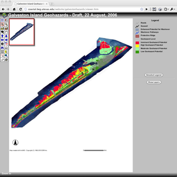
Galveston Island only right now, but more areas coming soon.
Sea Level Rise and Coastal Flooding Impacts Viewer
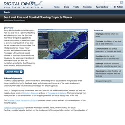
Being able to visualize potential impacts from sea level rise is a powerful teaching and planning tool, and the Sea Level Rise Viewer brings this capability to coastal communities. A slider bar is used to show how various levels of sea level rise will impact coastal communities. The initial project areas include Texas’ Houston and Galveston coasts, with additional coastal counties to be added in the near future.
Visit Sea Level Rise and Coastal Flooding Impacts Viewer
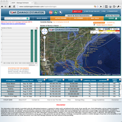
Users can easily provide a little input and view any storm or combination of storms overlaid on a map of the North Atlantic basin. The application generates a table showing how much damage the storm caused when it hit AND how much the same storm would likely cause if it hit today (taking into account inflation, wealth, and population changes).
You can view our overview here, or visit the site directly here.
Texas Coastal Ocean Observation Network
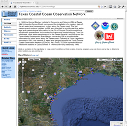
The Texas Coastal Ocean Observation Network provides real-time water-level and meteorological information to assist local officials with preparations for incoming hurricanes and tropical storms.
Visit the Texas Coastal Ocean Observation Network.
Texas Sustainable Coast Initiative’s Vulnerability Atlas
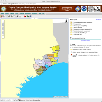
A mapping tool that aims to provide geographic information that decision makers can use to help make more informed decisions, and get answers to questions for a specific area or topic that involves a geographic dimension.
Visit Texas Sustainable Coast Initiative’s Vulnerability Atlas